Deforestation in the Amazon

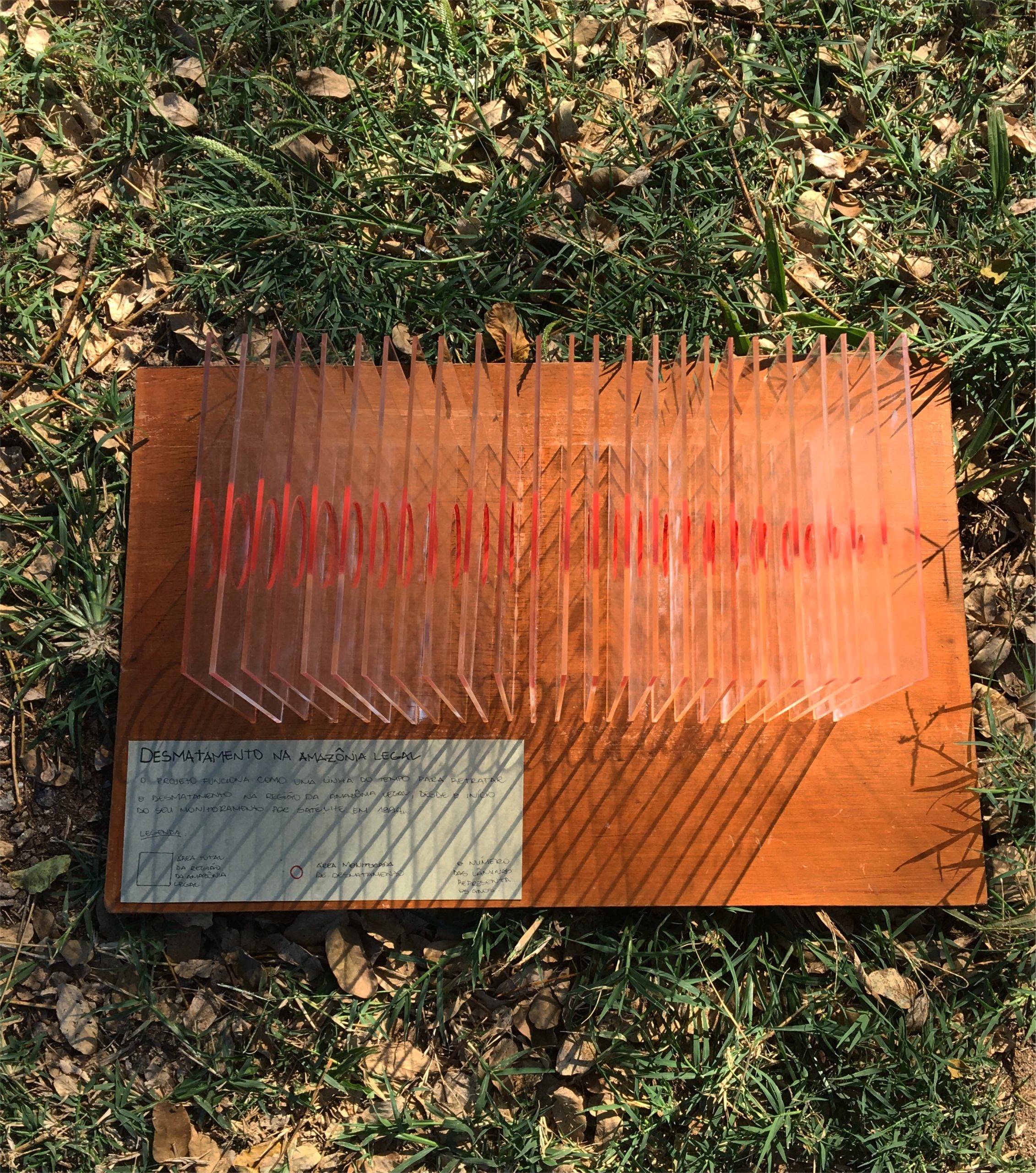
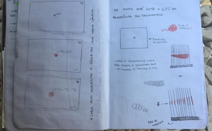
This project was developed from acetate plates attached to a solid wooden base that represent each deforestated year in Legal Amazon since the start of satellite monitoring in 1994. For each blade, a circular hole symbolizing the impacted area was drilled. For each passing year, we are able to see how deforestation increases in that region.
The motivation for creating this visualization arose from the need to increasingly call people’s attention to our natural reserves, which deplete day after day. All data are available online. Even though we all have access to this information, very few of us look fot it and even fewer understand the dimensions and the impact of such numbers to the environment.
Crafting and Materials
Firstly, the idea of using acetate blades to demonstrate the deforestation rates emerged from the transparent aspect that the material naturally displays, being ideal to emphasize the newly acquired transparency given by continuous monitoring which ensures that deforestation will not go unseen.
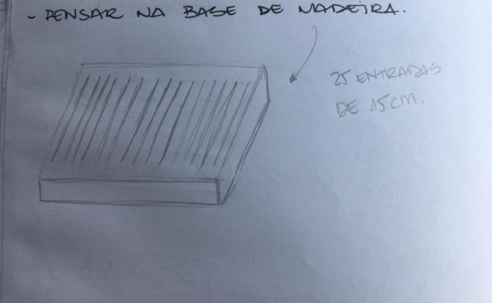
A wooden base keeps the blades upright, similarly to how trees and all Amazonic biodiversity also sustains human existance.
Moreover, red paint was used to color the circular holes, emphasizing what has already been lost.

Calculation
The acetate plate’s area (15cmx15cm) is made equivalent to the Legal Amazon’s total area (5,217,423 km²) and the annualy deforestated areas are proportional to the circles removed from the plates.
Each acetate slab show the current years’s deforestated area added to the preivous years’ total.


Conclusion
Therefore, the observation of this visualization allows us to draw conclusions that would not have been perceived otherwise. It helps us comprehend the vast dimensions of the deforestation problem. And so we can verify that the relentless devastation of the Legal Amazon is unbearable and we must act fast so that we will not lose our most precious good: life.
Visit labvis.eba.ufrj.br for more.